The Leica RTC Series: One Platform, Three Performance Levels
LEICA RTC SERIES · REALITY CAPTURE
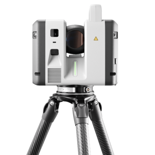
Choose Your Performance Level
Every RTC scanner delivers the same baseline data quality — the same eye-safe laser, the same 360° × 300° field of view, the same 10″ angular accuracy and 1.2 mm + 10 ppm range accuracy. What changes is reach, speed, and survey capability. Because it's one platform, you can step up as your projects grow without relearning how you work.
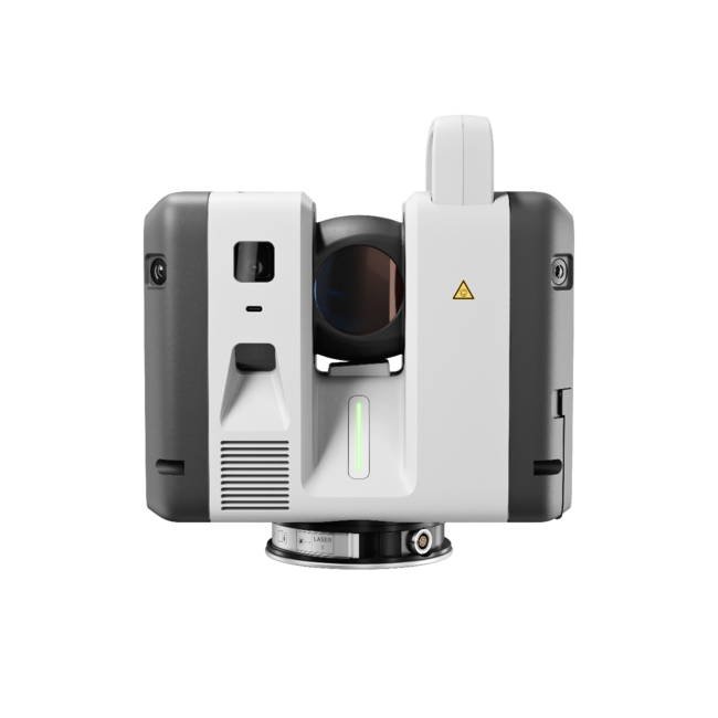
Leica RTC300 — Agile Entry
Up to 1M points/sec to 85 m. The practical way onto the platform for building construction, BIM, and general surveying, with a clear path to scale.
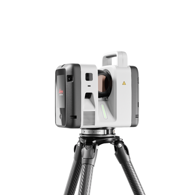
Leica RTC500 — Balanced Performance
Up to 2M points/sec to 130 m. Flexible range and full capture speed for surveying, construction, public safety, and infrastructure that changes by the day.
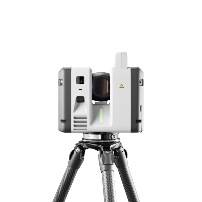
Leica RTC700 — Flagship
Up to 2M points/sec to 270 m, plus an exclusive Area Scan mode to 0.8 mm and a full on-board surveying suite. Built for large-scale infrastructure, industrial plants, and complex surveying.
Compare the Series at a Glance
Want a second opinion on which model to pick?
Connected Reality Capture, End to End
The RTC series runs on an intelligent software ecosystem that ties the field, the cloud, and the office into one continuous environment. Livelink in Leica Cyclone FIELD 360 and Hexagon GeoCloud shares data in real time between crews and office experts, while the Visual Inertial System (VIS) registers scans on the fly — reducing manual registration back at the desk. Finalize and deliver in Cyclone REGISTER 360 PLUS, with full reporting on errors, overlap, and tolerances, and hand off cleanly to Autodesk, CAD, and BIM tools.
Wondering how this fits into your current software stack?
Real-time field-to-office and crew-to-crew collaboration
On-the-fly registration with VIS — less office rework
72 MP / 432 MPx HDR imaging on every model
Automatic self-calibration — no targets, no manual setup
IP55-rated, −20 °C to +50 °C, built for the field
Buy, Rent, Demo, or Train — With Expert Support Behind You
As an authorized Leica Geosystems reality-capture partner, we do more than supply hardware. We help you spec the right model, integrate it with your software, train your crews, and support large multi-scanner operations end to end. Not ready to commit? Rent a unit or book an on-site demo and prove it on your own site first.